Georeferencing: Anchoring Your Data in the Real World

At Pixelonics, we specialize in georeferencing, the essential process of aligning your maps, images, or other spatial data with real-world coordinates. This ensures that your data is accurately positioned on the Earth's surface, enabling seamless integration with other geospatial datasets and accurate analysis.

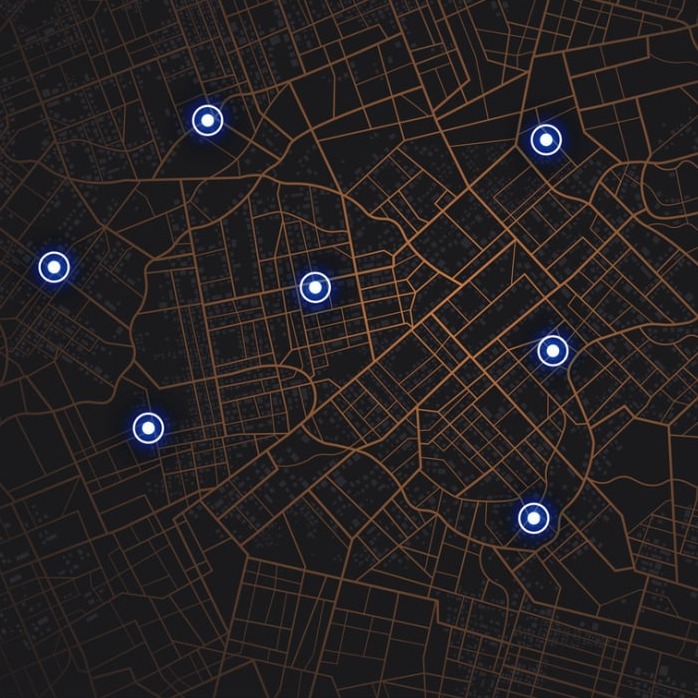
What is Georeferencing?

Georeferencing involves assigning geographic coordinates (latitude and longitude) to specific points on your data. These points, known as control points, are then used to transform the entire dataset into a known coordinate system, such as WGS84 or UTM.

Why is Georeferencing Important?

  • Accuracy: Georeferenced data is essential for accurate spatial analysis, measurement, and decision-making.
  • Integration: Georeferencing allows you to combine your data with other geospatial datasets, creating a richer and more informative view of your area of interest.
  • Analysis: Georeferenced data can be used for various analyses, such as calculating distances, areas, and change over time.

How Pixelonics Can Help with Georeferencing:

  • Expertise: Our experienced GIS professionals are skilled in georeferencing a wide range of data types, including historical maps, aerial photographs, scanned documents, and satellite imagery.
  • Precision: We use advanced software and techniques to ensure your data is georeferenced with the highest possible accuracy.
  • Efficiency: We streamline the georeferencing process, saving you time and resources.
  • Quality Assurance: We rigorously check the accuracy of our work to ensure your georeferenced data meets the highest standards.

Our Georeferencing Services:

  • Image Georeferencing: Aligning scanned maps, aerial photographs, or satellite imagery to a known coordinate system.
  • Document Georeferencing: Assigning geographic coordinates to historical maps, plans, or other scanned documents.
  • Data Transformation: Converting your data to a different coordinate system for compatibility with other datasets.
Contact Pixelonics
Precise Georeferencing: Transforming Maps & Images into Actionable Data
Unlock the full potential of your spatial data with Pixelonics' georeferencing services. Contact us today to discuss your georeferencing needs and receive a personalized quote.


© Copyright 2025 Pixelonics. All Rights Reserved.